A web application for managing the population, agriculture, and infrastructure of the Anosy region in southern Madagascar
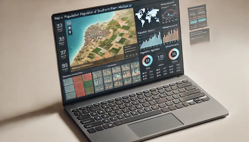
Final Year Project for the Bachelor's Degree in Management Information Systems
For my final year project, I worked independently under the supervision of the Director of Information Systems at the ministry. I had the freedom to choose the technologies to use, and I opted for Symfony (version 3.2 at the time). I chose Symfony because, as a beginner, I found it relatively easy to grasp thanks to its clear documentation and active community.
- Hardware: My laptop, with a 13-inch screen and only 2 GB of RAM, made running WAMP extremely difficult.
- Internet Connection: I didn’t have an internet connection at home, so I had to go to a cybercafé or the ministry headquarters whenever I needed to download or install a new library.
This project, being my first professional experience, provided me with most of the knowledge I have today. In school, each technology was taught in isolation. Through this project, I learned to integrate these skills in a real-world context. For example, I applied SQL in a real-life project, which gave me invaluable hands-on experience.
This project involved creating a web application to facilitate resource and infrastructure management in the Anosy region of southern Madagascar. The main goal was to centralize and organize data related to the population, agriculture, and local infrastructure to enable more effective and informed decision-making for local authorities.
- Population Management: The application allows for the registration of the region's population, recording detailed information about residents (age, occupation, family status, etc.), and tracking demographic trends over time. This feature assists in planning public services and adapting local policies according to the actual needs of the population.
- Agricultural Activity Tracking: A dedicated section for agriculture enables the monitoring of agricultural production, types of crops, annual yields, and infrastructure and resource needs. This promotes more sustainable land management and supports local farmers.
- Infrastructure Management: The application keeps track of existing infrastructure in the region, such as roads, schools, hospitals, and water and electricity distribution networks. It allows authorities to monitor the condition of infrastructure, plan maintenance or development projects, and optimize the distribution of resources for regional development.
The application aims to enhance the efficiency of local policies concerning the management of human, agricultural, and infrastructural resources. By providing better visibility into the region’s key data, decision-makers will not only be able to optimize resource allocation but also anticipate future challenges, especially in the areas of urbanization and food security.
The M2PATE (Ministry of Territorial Planning and Public Works in Madagascar) is a government institution responsible for land planning and development, as well as the construction and maintenance of public infrastructure. The ministry oversees urban and rural planning, the improvement of road networks, bridges, public buildings, and basic infrastructure.
M2PATE
Web
Subscribe to my newsletter to receive special offers and the articles / tutorials I occasionally publish on my blog.
* You can unsubscribe at any time by clicking the unsubscribe link in every email.


